
Sources for Minneapolis Previous Residents
A reliable Minneapolis address history uses sources that cover different periods and different relationships to a property. Hennepin PINS supplies the current parcel identifier and a limited recent recording-history view. The Recorder/Registrar preserves recorded land-title instruments. Hennepin Library’s directories and permit materials add the household and structure layers. The best source depends on whether the question is about a present parcel, a recorded transaction, or who appeared at an address in an older year.
| Source | Years it covers | Where held | What it shows |
|---|---|---|---|
| Hennepin PINS | Current parcel record; recent recording history is limited to five years | Hennepin Property Information Search | PID, tax and assessment data, parcel description, sales, map, and limited recording history. |
| Recorded instruments | Use the Recorder/Registrar index for older records; no full static online cutoff was located | RecordEASE, public kiosks, and copy-request routes | Deeds, mortgages, liens, releases, certificates, and recording details. |
| Minneapolis city directories | 1859-1963 | Hennepin Library digital and special collections | Name and address entries that can place a household in a publication year. |
| Permit cards | 1884-1973 | Hennepin Library Permit Cards collection | Construction, alterations, maintenance, outbuildings, signs, walls, and related work. |
| Minnesota state and federal census material | State: 1865, 1875, 1885, 1895, 1905; federal access follows the 72-year rule | Minnesota Historical Society and federal records | Historical household and residence context. |
Use the parcel and legal description first when you need to connect old records to a current location. Use directory and census material when the goal is to identify past residents rather than only past owners. Neither kind of source proves a present address.
Minneapolis Parcel Starting Point
Begin with Hennepin Property Information Search. Its address mode requires house number and street name and accepts an optional unit. Alternate searches use a 13-digit PID or a lot, block, and abbreviated addition name. The result can provide tax status, assessment values, parcel description, sales, recent recording history, and a map. Save the PID and legal description before moving into older material, because a street address can change while parcel language supplies a more durable connection.
PINS is updated on weekday nights at about 9:15 p.m. Central Time and is designed for individual searches, not bulk downloading or scraping. A street name generally needs at least three characters. When the first search fails, try a direction at the end, the county’s street abbreviations, an older number, or the lot and block. The county’s automated PID phone lookup is available at 612-348-3011 daily from 7 a.m. to 9 p.m. for a known 13-digit PID.
- PID
- Hennepin County’s 13-digit property identification number. It links a searcher to the county parcel record.
- Situs address
- The physical location associated with a parcel or structure. It can differ from a mailing address.
- Legal description
- The lot, block, addition, or other property description used in recorded land-title documents. It is often more stable than an old street number.
- Parcel
- A tax-geography unit. A parcel record can identify an owner or transaction history without showing occupancy.
Hennepin Deed Chains for Past Residents
The county Recorder/Registrar is the authority for recorded instruments. A deed is evidence of an interest conveyed in property, not proof that the named party lived there. Start with the current PINS record and its limited five-year recording history. For an older transaction, use the land-title index to locate the recorded document, then read the instrument and keep its recording date, document or certificate number, and names as written.
- Locate the parcel by address, then save the PID and legal description from PINS.
- Inspect the five-year recording-history information as a recent starting point, while treating it as incomplete for a full title question.
- Search the Recorder/Registrar index for the deed or other instrument connected to the most recent party and date.
- Read the grantee, the person receiving an interest, and the grantor, the person conveying an interest, before stepping to the earlier instrument.
- Repeat the documented transaction trail backward, using the legal description to avoid confusing a changed address with a different parcel.
- Use a kiosk, copy request, or paid document channel when an online index result needs the actual instrument.
- Grantor
- The party who conveys an interest in a recorded document.
- Grantee
- The party who receives an interest in that document.
- Chain of title
- A sequence of recorded property interests. It is built from instruments and does not itself establish occupancy.
- Instrument
- The recorded document, such as a deed, mortgage, release, lien, or certificate, that the land-title system indexes.
Minneapolis Recorder Access Routes
The Hennepin County Recorder/Registrar land-title access page sets out several channels. RecordEASE Public Search offers a limited free index. RecordEASE Pro requires an agreement, is normally enabled in one to two business days, and charges $2.50 per document, certificate, or plat. Public kiosks are free for searching during county hours. Property owners can request free electronic deed or certificate copies through recordsrequest@hennepin.us.
For copies, Virtual Recorder is an account-based purchase route with a $3 service fee plus document, certificate, or plat fees. Mail requests require the document or certificate number and type. The stated mail prices are $1 per page for a noncertified document, $10 for a certified document, $10 for a noncertified plat, and $15 for a certified plat. The county does not accept credit cards by mail. The Recorder/Registrar kiosks are on the Skyway level of the Hennepin County Government Center, 300 South Sixth Street, Room SK-0353.
The Recorder/Registrar access screen below shows the entry point for the index, public kiosks, and copy channels. Use the record’s document number and type when requesting a specific item.
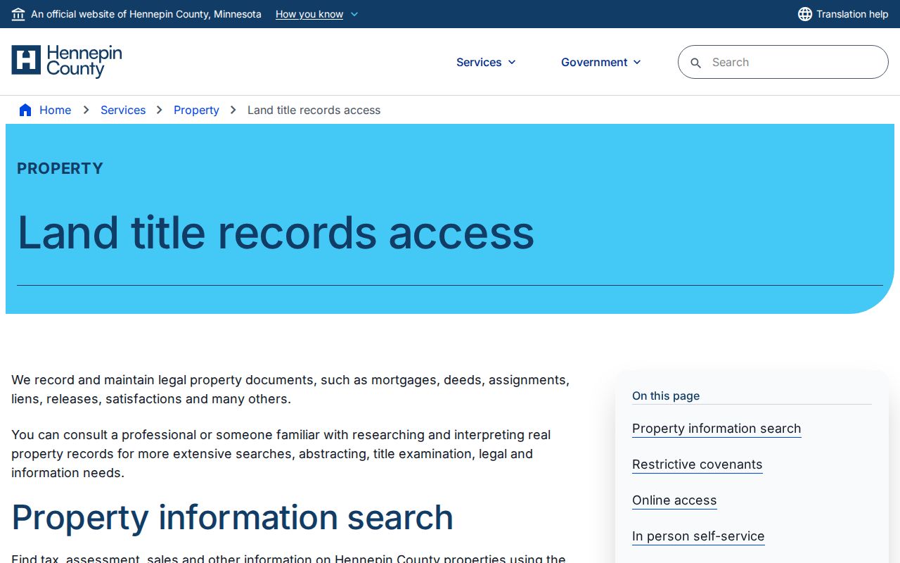
The online search is only one access route. A public kiosk, a document request, or the owner electronic-copy channel can supply the next step when the limited index does not answer the historical question.
Minneapolis Previous Residents Address Changes
A historical address may be real and still fail in a modern search. Minneapolis’s address standard, approved in 2004, moved from “building numbering” to “parcel and structure numbering.” Addresses are assigned to ownership parcels and structures, and they are reviewed when a subdivision, land-use approval, permit, street vacation, or structure move occurs. A new structure, split parcel, combined parcel, altered entrance, or street-name variation can break a simple address match.
A shared-lobby structure can retain one master address with unit or suite designations, while separate exterior entrances can have separate addresses. Search the master street number first when a unit result fails. Then compare the historical number, street abbreviation, direction, addition, lot, block, PID, and nearby numbers. The City Address Portal can add ward, precinct, fire, snow, garbage, street-sweep, and neighborhood context, but those are different geographies from the parcel.
Note: Treat an old address as a dated form of evidence and preserve its spelling before normalizing it to a current parcel or structure record.
Minneapolis Previous Residents House History
Hennepin Library’s Researching Homes in Hennepin County guide gives the local structure-history path: permit cards, recent permit dashboards, blueprints and architectural sources, photos, aerials, atlases, plats, Sanborn maps, surveys, and GIS. Permit cards cover 1884 through 1973. The city permit index continues with index records from 1974 through 1989, while building and wrecking permits are described as continuing through later systems.
The library also points to Minneapolis lot surveys from 1916 through 1965, atlases from 1885, 1887, 1892, 1898, 1903, 1914, and 1940, more than 4,000 Hennepin County plat maps, and Sanborn sheets based in 1912 with changes and additions through about 1930. Aerial photographs from the 1920s through the 1970s can help determine whether an address referred to the same structure over time.
Hennepin Library’s official house-history workflow is shown below. It ties property records to permit, map, and archive sources without treating any one of them as a complete list of past residents.
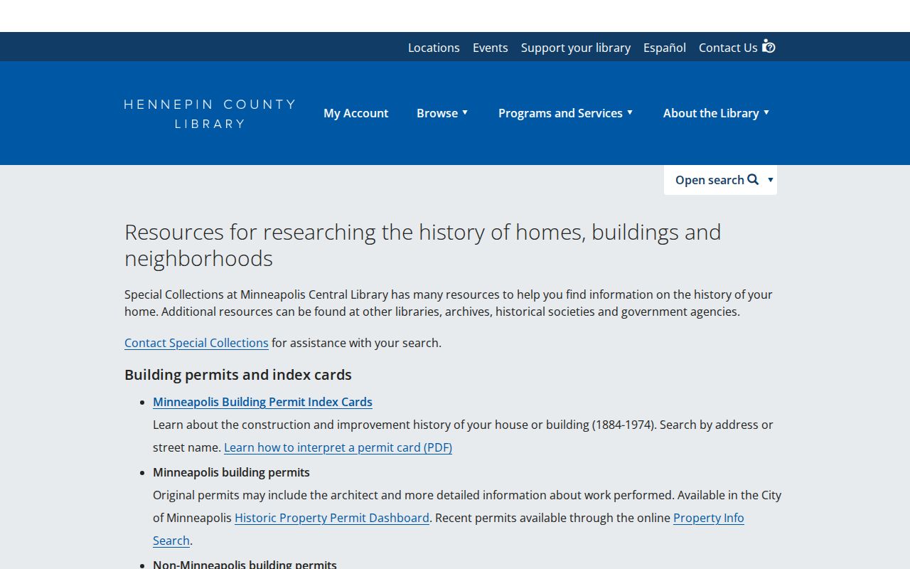
The strongest address history pairs a dated directory or record with one independent structure source, such as a permit card, map, plat, survey, or aerial image.
Minneapolis Past Residents in Directories
Deeds trace recorded interests. They do not answer every question about who lived at an address. Hennepin Library’s Minneapolis city directories span 1859 through 1963, Minneapolis Area Phone Books span 1933 through 1975, and Yellow Pages span 1933 through 1963. The digitized collection supports name and address searches, plus address-first research across a directory or collection. Inspect the scan, not only an OCR hit, because a name, abbreviation, or number can be misread.
A city directory, phone book, and Yellow Pages volume have different publication purposes. A phone-book entry can be a subscriber, organization, or service listing rather than a full household account. Search the exact address in adjacent directory years and note the title, year, page, and publisher. The library collection also includes different publishers and publication patterns, so a missing year should not be treated as proof that no one lived there.
The collections themselves are described in the Minneapolis city directories. Pair a directory year with the nearest available federal or Minnesota state census, then corroborate a name and address with a permit, map, newspaper item, deed, or tax record before drawing a conclusion about past residents.
Minneapolis Previous Residents Census Trail
Minnesota state censuses supply useful dates between federal census years. The state guide lists territorial censuses in 1849, 1850, 1853, 1855, and 1857, followed by state censuses in 1865, 1875, 1885, 1895, and 1905. The 1905 census can include address, ages, and occupations. The 1895 census includes length of residence, occupation, and Civil War information, while the 1875 census includes parents’ birthplaces. Federal census material follows the 72-year access rule.
Use a simple dated flow: directory address, then atlas or plat lot, then permit card, then deed and legal description, then current PID. For a household question, put a directory year next to the closest census year and compare the names, age ranges, and address context. A mismatch can point to a move, a renumbered address, a publication gap, or an OCR error. It is a reason to check another dated source, not proof that one record is false.
Minneapolis Previous Residents Privacy Limits
Past residents research is best used for family history, property history, estate questions, and personal curiosity. Minnesota’s Government Data Practices Act presumes government data are public unless another law classifies them otherwise, but voter, birth, court, law-enforcement, and Safe at Home data carry additional limits. Safe at Home uses a designated address and mail-forwarding service for participants. Never treat that address as a person’s actual location or try to infer the protected address from other records.
County parcel results, a recorder index, and a historical directory each describe a dated record, not a current person profile. Do not scrape PINS or RecordEASE, do not republish protected personal details, and do not use a past address to monitor, intimidate, or harass anyone. If a record needs correction or clarification, contact the custodian that maintains it rather than trying to reconstruct protected information from another interface.
Minneapolis Previous Residents Record Dates
Dates are the safeguard against overreading a result. PINS updates after weekday processing, voter data update nightly with possible delays, and digital library collections grow over time. A city directory establishes that a listing appeared in a particular volume. A deed establishes that an instrument was recorded. A permit card documents a property-related event. Preserve the source name, date searched, record date, address form, PID when known, and any spelling variation.
The most useful negative result is also a scoped one. “No address result in the 1950 directory collection” is different from saying no one lived there. Record the collection searched, years checked, spelling or address format, and the limits of the source. That makes the Minneapolis address-history trail reproducible and leaves room for a later directory volume, recorder request, archive item, or corrected address match.